Torrance is one of the South Bay’s biggest and most varied cities: a stretch of beach below the bluffs, a 1912 planned downtown known as Old Torrance, large parks, two major malls and miles of quiet residential streets. It’s also home to American Honda’s U.S. headquarters and a standout Japanese food scene.
Neighborhoods in Torrance
- Hollywood Riviera: hillside streets in the southwest corner above Torrance Beach, some with ocean views. Part of the area has Redondo Beach 90277 mailing addresses but is still in the City of Torrance.
- Old Torrance (Downtown): the original 1912 planned town laid out by Frederick Law Olmsted Jr., with the El Prado Bridge, El Prado Park and a small downtown of independent shops and restaurants.
- Walteria: south Torrance below Pacific Coast Highway, near the Palos Verdes hills.
- Southwood: about 2,200 homes built in the early 1950s in west Torrance.
- Seaside and Seaside Ranchos: homes built from the late 1940s near the Redondo Beach border, including the Sleepy Hollow streets famous for their holiday lights.
- North, West and Southeast Torrance: informal names for large, mostly residential parts of the city.
Check the city, not just the ZIP code: some homes in unincorporated West Carson have “Torrance 90502” addresses but are outside the city and outside Torrance Unified.
Schools
Torrance Unified School District serves the whole city with 17 elementary schools, 8 middle schools and four comprehensive high schools: North High, South High, Torrance High and West High. Assignment depends on the address, so check the district’s school locator for any home you’re considering.
Beaches, parks and the outdoors
Torrance Beach is a 40-acre county beach at the foot of the bluffs where the coastal bike path ends, with a quieter stretch beyond it toward Malaga Cove. Inland, Wilson Park on Crenshaw Boulevard (about 44 acres) hosts the farmers market and summer concerts, Columbia Park covers 52 acres, and the Madrona Marsh Preserve protects one of the last vernal wetlands in Southern California, with a nature center and walking trails.
Food, shopping and culture
Del Amo Fashion Center is one of the largest malls in the country, with Mitsuwa Marketplace and a long list of restaurants inside. Downtown Torrance along El Prado has a smaller-scale mix of local shops, and Torrance Crossroads at Crenshaw and Lomita Boulevards covers everyday errands.
Torrance’s Japanese markets and restaurants are a big draw. Jesse’s picks:
- Ko Ryu Ramen, on Crenshaw Boulevard and on Hawthorne Boulevard, with a customizable menu that includes vegan options.
- Din Tai Fung at Del Amo Fashion Center, for soup dumplings.
- Nijiya Market and Tokyo Central for Japanese groceries and ready-made meals.
Events through the year
- Armed Forces Day Parade: the third Saturday in May on Torrance Boulevard. The city calls it the longest-running military parade in the nation.
- Torrance Summer Nights: summer concerts at the Wilson Park amphitheater.
- Cherry Blossom Festival: spring, at Columbia Park.
- Sleepy Hollow holiday lights: residents in Seaside Ranchos decorate their homes from early December into the New Year.
- Farmers market: Tuesdays and Saturdays from 8am to 1pm, year-round, at Wilson Park.
Getting around
From the Civic Center it’s about 11 miles to LAX and about 20 miles to Downtown Los Angeles by road. The I-405 crosses north Torrance, the I-110 runs just east of the city, Pacific Coast Highway crosses south Torrance, and Hawthorne Boulevard is the main north-south route. Torrance also has its own general aviation airport, Zamperini Field.
Buying a home in Torrance
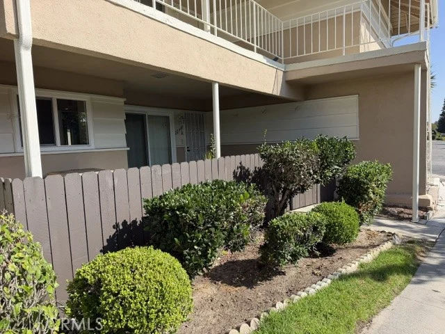
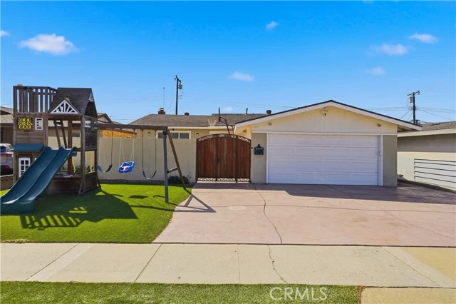
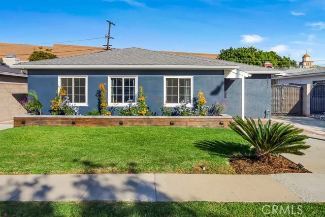
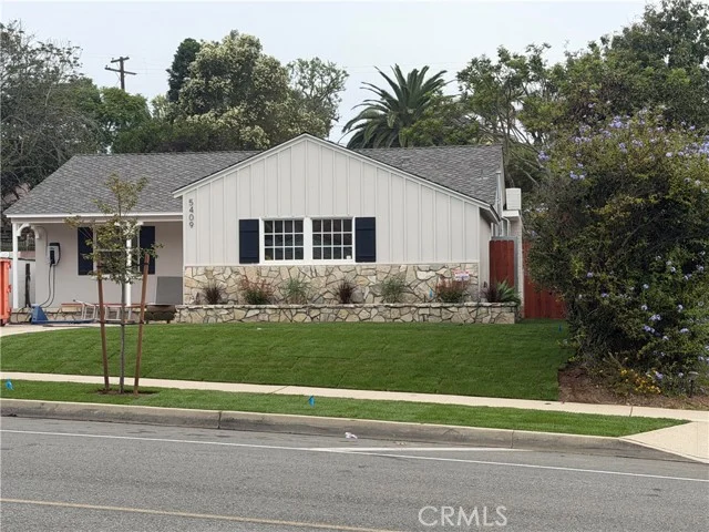
Many parts of Torrance offer more space for the money than the beach cities: mid-century single-family neighborhoods, newer townhomes and condos, Craftsman homes in Old Torrance and hillside view homes in the Hollywood Riviera. Prices vary widely by neighborhood, so the live figures at the top give a city-wide snapshot. Browse every Torrance home for sale, or ask Jesse to compare specific neighborhoods.
Frequently asked questions
What school district serves Torrance?
Torrance Unified School District serves the entire city, with four comprehensive high schools: North, South, Torrance and West High. Some homes with Torrance mailing addresses in unincorporated West Carson are served by LAUSD instead, so always check the address.
Does Torrance have a beach?
Yes. Torrance Beach is a 40-acre county beach below the bluffs in the southwest of the city, at the southern end of the coastal bike path.
How far is Torrance from LAX?
About 11 miles by road from the Civic Center. Travel time depends on traffic.
When is the Torrance farmers market?
Tuesdays and Saturdays from 8am to 1pm, year-round, at Wilson Park.